Clearspring
Keating Cairn
Waypoint Info
Lat Long
(49.555720, -96.710371)
GPS Coordinates
49° 33′ 20.592” N
96° 42′ 37.3356” W
Next Waypoint (East)
Dirk Willems Peace Garden at MHV
Previous Waypoint (West)
Rosenthal Nature Park
History of the site
The first Clearsprings settlers arrived in this region in 1869 – five years before Mennonites. These were Scottish and Irish farmers who had immigrated to Canada, settled in Ontario, but felt compelled to leave because the land there was becoming too expensive. Upon their arrival here, they noticed springs of clear water and christened the area “Clearsprings”. They had last names such as Mack, Rankin, Jamieson, Slater, Laing, Peterson, Keating, and Langill.
Irish-born Peter Keating arrived here in 1872, filing for a homestead on section NW 10-7-6E. He married Christina in 1890. James and Lily Keating were married in 1934, and farmed here until 1963.
John Peter and Jane Mack Langill settled on SE 10-7-6E in 1873. Descendant Rachel Langill’s book Pioneers of Clear Springs reveals the land bore “all kinds of fruit, strawberries, black currants, cranberries, gooseberries, saskatoons, pincherries, and wild plum trees.”
When Mennonite settlers arrived here in 1874, they soon began working together with the Clearpsrings settlers, valuing and respecting one another.
Transformation
Farming has continued on this section, though the Keating homestead is gone, a cairn remains to acknowledge its location on Road 33E. The cairn expresses that the Keating family was very community-oriented, so in honour of their contribution to the area, the western boundary of Steinbach was named Keating Road.
In 1980, Clearspring Centre was built on the southeast corner of this section, with the Ledingham GM dealership right next to it, cozying up to what is today called Blind Creek.
Most recently, the Langill Farm development is growing here in the midst of this section, its name paying tribute to the Langill family who homesteaded here.
What you see today
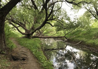
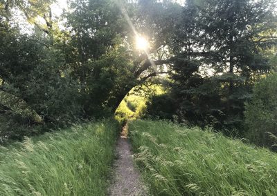
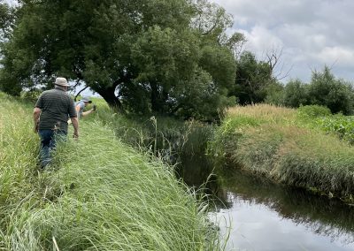
This section of the Peace Trail winds its way through the middle of section 10-7-6E, following Blind Creek from the Keating Cairn along the Langill Farm development, up to a lovely treed area next to the car dealership… and highway 12 north.
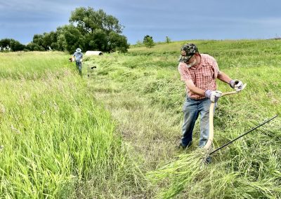
This part of the trail is interesting and prone to various challenges, which perhaps add to the intrigue of the location. At time of writing, the trekker may encounter tall grass, overflowing banks, mosquitoes, snow drifts, mud, all depending upon the time of year of course.
Also at time of writing, Langill Farm is still under development, with plans to create a path along Blind Creek, which would dovetail with the Peace Trail, resulting in a much easier journey.


